Start Castleford Iron Railway Viaduct On River Aire
Finish Garforth (Ninelands Lane) - Or as we did back along the route.
Start Time May 16, 2012 11.43am
Finish Garforth (Ninelands Lane) - Or as we did back along the route.
Start Time May 16, 2012 11.43am
Distance 7.47 miles
Duration 3h:48m:47s
Avg Speed 2.0 mph
Max Speed 6.5 mph
Calories 983 kcal
Altitude 197 ft / 385 ft
Elevation 135 ft ↑ / 139 ft ↓
Weather Warm & Sunny
O/S Map Explorer 289: Leeds - Harrogate - Wetherby & Pontefract
Terrain Castleford To Allerton Old Trackbed with rails - Uneven At Times, Rest Very Good & even.

GPS Route
To get to the starting point on this walk, take the Canal Tow-Path on Your right over the bridge (with Castleford behind you) on the A656 Lock Lane. You will be able to see the Iron Viaduct on the Horizon from the Canal bridge. Once at the foot of the bridge you need to climb up the embankment and onto the trackbed.


Underneath The Bridge


Bear in mind that the tracks, sleepers and ballast are still present and can be very uneven.

From the bridge (Keeping it behind you) you need to follow the track as it curves away from the Viaduct for about a Mile ending at Ledston Station.
You will see ponds either side of you and if you like bird watching then it is well worth having a few minutes time out here and there.
You will see ponds either side of you and if you like bird watching then it is well worth having a few minutes time out here and there.

We need to keep following the track for just over a mile towards Allerton Bywater. Shortly the track will bend to the left....and you come across bits left from when the track serviced the collieries. What looks like some kind of weigh-bridge is the first thing you will notice, and also piles of sleepers and other bits and pieces.


Just a bit further on from here you will come across a bridge with the A656 Barnsdale Road going over it.


Straight after the bridge are the remains of the platform of Ledston Station, and a little further up from there some old station building?


From the building we need to go back to the bridge and along the road North to Allerton Bywater and up to a set of Traffic Lights.

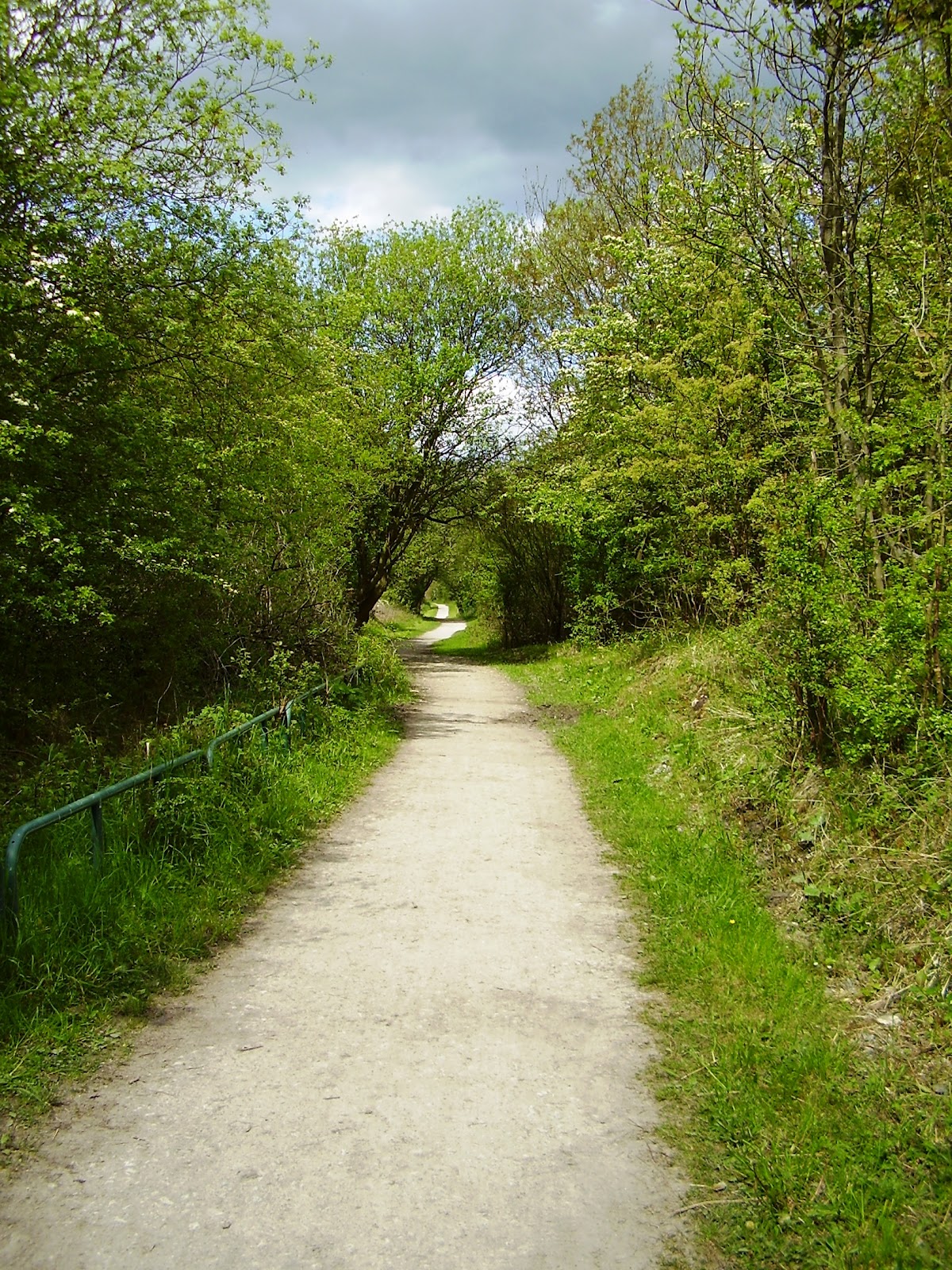
At the lights turn left onto Park Lane. You will soon come to the start of 'The Lines' Cycle Track - which is a continuation of the line that we have just walked, but for 4 miles up to Garforth is a well surfaced path with no rails in sight!

Start of 'The Lines'

Utility Bridge at the start of 'The Lines'
Not much I can say about the direction of the walk, as you just follow the track for four miles to Garforth.

Shortly after starting on 'The Lines' on your right hand side you will pass Owl wood, which my be worth a short detour off the track.
Back in the day when this line was operational, you would have passed the stations Bowers Halt & Kippax en-route to Garforth. Sadly there is no trace of either of these stations today, but there is a marker at 'Bowers Junction'.


It is worth keeping an eye out for Townclose Wood on your right hand side at Kippax...and again, worth a small detour off the track if time permits.
On arriving at Brecks Lane you have to leave the track and cross the road due to the over bridge being missing!


On reaching the end of the track at Ninelands Lane in Garforth, you can either follow the road to your left and up to Garforth/East Garforth Rail Stations for a Train into Leeds then on to home...OR you can turn round and folow the track back to Allerton Bywater to finish the walk where 'The Lines' trail starts.
The photos here of 'The Lines' stretch of the walk MAY not be in order...as I had battery failure on my camera and had to use my phone too!
The complete set of Photos from the walk can be found HERE This is a hefty set weighing in at 149 photos!

Brecks Lane
i've been planning to do this walk, for some time, i was down at the old iron bridge the the other month lots of conservation going on in that area, much of the track bed is over grown but still passable hopefully.
ReplyDeleteWas at the Ironbridge a while back with the dog couldn't get onto the bridge as it was boarded up. Is this still the case. ?
ReplyDeleteAs anybody got any idea about the bridge over the line in the woods just before the A63 bridge was used for?
ReplyDelete